Where does my land end? The question comes up when building a fence, buying a field, arguing about a hedge, or simply when you set foot in an inherited piece of woodland for the first time.
With a smartphone you can get surprisingly close to the boundaries, and for free. But it does not replace a binding boundary. This guide shows how to go about it, and where the line between looking yourself and calling a surveyor lies.
Three things worth keeping apart
- The cadastral boundary: the line on the cadastral map (Liegenschaftskarte). It shows the parcel's location and shape.
- The boundary markers: boundary stones (Grenzsteine), bolts, pipes or plastic markers set into the ground during a marking (Abmarkung).
- The legal boundary: the boundary recorded and determined in the official cadastre.
GPS helps you get from the map to the markers.
Step 1 — Look at the parcel on the aerial photo
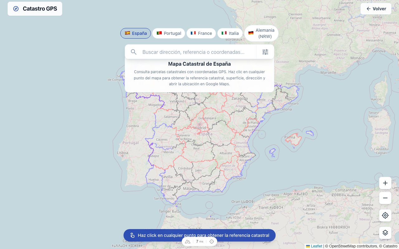
On the German cadastral map, the parcel map is laid over the aerial photo.
- Look up the parcel by address, by Gemarkung, Flur and Flurstück, or zoom to the spot.
- Tap the plot: you see its identifier, area and the GPS coordinates of its centre.
- Compare the outline with the aerial photo. Tracks, ditches, hedges and changes of use often lie exactly on the boundary.
Missing the number? How to find the Flur and Flurstück number.
Step 2 — Follow your own position on site
Outdoors, what matters is seeing the parcel's outline and your location at the same time.
- On the web map, the location button centres the view on your GPS position.
- The Catastro GPS app shows your position directly on the parcel boundary: you set off, the dot moves with you, and you see when you are getting close to a boundary point.
Start at the corners of the parcel. That is almost always where the markers are; on long straight boundaries there may be some in between.
Step 3 — Look for the marker
Once you are a few metres from the corner, GPS has done its job. Eyes and hands do the rest:
- Boundary stones are usually dressed stones with a cross or notch on top; the cross marks the exact boundary point.
- Metal bolts and pipes are often set into walls, kerbs or paving. A metal detector helps if they are overgrown.
- Plastic markers with a coloured head are common in more recent surveys.
- Look at the foot of fence posts, walls and trees: markers like to disappear under leaves and soil there.
Important: never dig up, move or remove a boundary marker. Anyone who removes, moves or wrongly places a boundary marker commits an offence under section 274 of the German Criminal Code (StGB), and it does not make the boundary any more correct.
How accurate is all this?
Two inaccuracies add up.
Phone GPS is about three to five metres under open sky. In woodland, on slopes or between houses the error can be much larger.
The map is calculated to the centimetre in many areas; in others it is still based on old, digitised framework maps. There the line can be several metres off reality.
Rule of thumb: if you find a boundary stone two or three metres from the drawn corner, the stone counts, not the line on the screen.
When the surveyor has to step in
If the markers are missing, the neighbour disagrees, or you want to build right on the boundary, only an official survey will do. The responsible bodies are the cadastral office (Katasteramt) and publicly appointed surveyors (Öffentlich bestellte Vermessungsingenieure, ÖbVI).
- Boundary indication (Grenzanzeige): the existing boundary points are shown on site, without new markers. Good if you just want certainty.
- Boundary restoration (Grenzwiederherstellung): lost or moved markers are reset from the survey records.
- Boundary determination (Grenzfeststellung): where a boundary was never determined, it is established, agreed with the neighbours and marked.
Under section 919 of the Civil Code (BGB), any owner can require their neighbour to take part in marking the boundary if a marker is missing, has been moved or has become unrecognisable. The costs are usually shared equally.
Typical cases in practice
The new fence. Before you put a fence right on the boundary, the boundary points should be certain. If you find the boundary stones at both ends, stretch a string between them: that is the boundary. If you find only one or none, a boundary indication is cheaper than a fence that has to come down again later.
The inherited woodland. In woodland GPS is least accurate and markers are hardest to find. Start from a sure point, such as a track or ditch on the boundary, and work your way from corner to corner with the map and your position. Marked trees or old rows of stones are good clues. Finding land in an estate in Germany.
The argument over the hedge. A screenshot will not help here. The map shows roughly where the boundary is; whether the hedge really stands on the neighbour's side only a survey can settle. But a calm conversation with the map in hand often stops it getting that far.
What to gather beforehand
- the Gemarkung, Flur and Flurstück number of your plot and of the neighbouring parcels;
- the purchase contract or the land register extract;
- old survey sketches (Vermessungsrisse) or boundary records, if there are any;
- photos of markers you found, with their GPS coordinates.
How to record and share a point precisely is in finding a parcel's GPS coordinates.
Frequently asked questions
Can an app survey my plot? No. An app shows, measures and helps you search. Only the cadastral office and ÖbVI may fix a boundary that binds the neighbour.
My fence is not on the map line. Who is right? Neither proves anything on its own. Fences are often set by eye, and map lines can be offset. If every metre counts, apply for a boundary indication.
Can I measure the area myself? Yes, with the map's measuring tool you get distances and areas on the aerial photo. The area in the parcel overview is the cadastral area and may differ.
Does it work throughout Germany? In most federal states, each with that state's cadastral data. How to see parcels directly on Google Maps is explained in this guide.