"Gemarkung Wehlheiden, Flur 3, Flurstück 112/4": that, or something like it, is what the property tax notice, the purchase contract or the certificate of inheritance says. The only question is: where is this plot?
This guide shows how to read a parcel designation in Hesse (Hessen), find it on the map and drive there with the GPS coordinates, for free and without signing up.
Who keeps the cadastre in Hesse
The competent body is the Hessian Administration for Land Management and Geoinformation (HVBG). Locally, the land management offices (Ämter für Bodenmanagement) keep the cadastre and issue official extracts.
The data is held in ALKIS, the official cadastral information system. Hesse publishes its parcels as open data. That is exactly the data the German cadastral map shows over the aerial photo.
For context: Germany has no nationwide cadastre. What applies here to Hesse (authorities, portals, notation) may look different in North Rhine-Westphalia or Lower Saxony.
How a parcel designation is made up
A parcel is only unique with all its parts:
- Gemarkung: the cadastral district, usually named after a place or district of a town (for example a district of Kassel or Darmstadt). Each Gemarkung also has a four-digit number.
- Flur: a subdivision of the Gemarkung, one to three digits.
- Flurstück: the actual number, as a numerator and, for divided parcels, with a denominator:
112/4.
In the machine-readable parcel identifier (Flurstückskennzeichen) the parts follow one another, starting with the state code 06 for Hesse, then the Gemarkung number, Flur, numerator and denominator.
The most common mistake: a parcel number without the Gemarkung. The number 112/4 exists in hundreds of Hessian Gemarkungen.
Step 1 — Find the parcel on the map
There are three ways, depending on what you have:
With Gemarkung, Flur and Flurstück. Type it into the search as it appears on the notice. If the Gemarkung name exists more than once, pick the right one from the list.
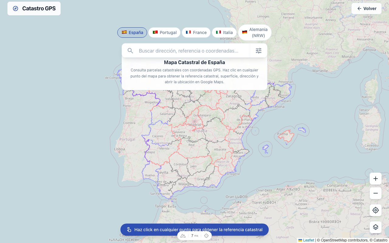
With the address. Enter the street, house number and town, and the map jumps to the building. Tap the plot underneath to read the Gemarkung, Flur and Flurstück.
On the map. With no number and no address (typical for fields, meadows or woodland), zoom into the spot on the aerial photo and tap the area.
In every case the parcel overview opens with its identifier, area and GPS coordinates.
Step 2 — Drive there with the coordinates
The coordinates are in decimal degrees, for example 51.3127, 9.4797. Copy them into Google Maps, your satnav or an outdoor app: the point is in the middle of the parcel.
For fields and woodland, the satnav will take you to the nearest drivable track. For the last stretch, the Catastro GPS app is worth having: it shows your position directly on the parcel boundary. How to then find the boundary points on the ground is in finding boundary stones with GPS.
Where the number appears on paper
If you first need to find the designation:
- Property tax notice and property tax value notice: since the property tax reform, every owner had to give the Gemarkung, Flur and Flurstück, so they are in the paperwork.
- Land register extract: in the inventory section, with location and area.
- Purchase contract: in the description of the property.
More in finding the Flur and Flurstück number.
Official extract or a map for orientation?
For a planning application, a notary or a bank you usually need an official extract from the cadastral map (Auszug aus der Liegenschaftskarte). The land management offices issue it. How to order the Liegenschaftskarte.
For orientation, a buying decision or planning, a non-official parcel map from the open data is often enough. Viewing it on the map is free; as a print-ready file it is available from the Flurkarte online page (in German).
Important: the map line is not the property boundary
The cadastral boundary is a very good guide. What is legally decisive is the official cadastre, and only the land management offices and publicly appointed surveyors may determine or mark boundaries. Anyone who wants to build, divide or settle a boundary dispute cannot avoid a survey.
Hessian towns as a starting point
For a quick way into a municipality (pages in German):
Or the overview of the whole state: Flurkarte Hessen.
Typical situations in Hesse
An inheritance of scattered plots. Especially in northern and eastern Hesse, many families inherit small meadows, fields and pieces of woodland spread over several Gemarkungen. Go through the parcels in the land register extract one by one, look each up by Gemarkung, Flur and Flurstück and note the coordinates. You quickly end up with a list you can use to visit the plots or show an estate agent. Finding land in an estate in Germany.
Buying a building plot. Before the notary appointment, check that the location and shape on the aerial photo match what you were shown. If the fence differs noticeably from the map line, raise it before you sign.
Woodland and fields without an address. With no house number, only the map helps: zoom over the aerial photo, use tracks and woodland edges to orient yourself and tap the area. The coordinates then take you as far as the field track.
Frequently asked questions
Is it really free? Yes. Viewing the map, searching for a parcel and reading the coordinates costs nothing and needs no account.
Can I see the owner? No. Owners are recorded in the land register at the local court, and under section 12 of the Land Register Code (GBO) only someone who shows a legitimate interest may inspect it.
Why can't I find my parcel? Usually the Gemarkung is missing, or the parcel has since been divided or merged and has a new number. In that case search by address or directly on the map.
Is this available for other federal states too? Yes, for most of them. There is a similar guide for parcels in Lower Saxony, for example.