You have a parcel (Flurstück) number from a purchase contract, an inheritance or an old land register extract, and you want to know where that plot actually is.
This guide shows how to find it on the map, see its boundaries and get the GPS coordinates to drive there. For an overview of parcel searches across the whole state, with the cadastral map extract and the parcel map as a PDF, see the page finding parcels in Lower Saxony (in German).
Who keeps the cadastre in Lower Saxony
The competent body is the LGLN (Landesamt für Geoinformation und Landesvermessung Niedersachsen, the state office for geoinformation and surveying). It keeps ALKIS (the official cadastral information system), in which every parcel is recorded with its number, area and outline.
Worth knowing: Germany has no nationwide cadastre. Each federal state keeps its own. What applies to Lower Saxony does not automatically apply to North Rhine-Westphalia or Bavaria.
How a parcel number is made up
A full designation has four parts:
- Gemarkung: the cadastral district, usually a place name or a four-digit number.
- Flur: a subdivision of the Gemarkung, one to three digits.
- Numerator (Zähler): the actual parcel number.
- Denominator (Nenner): only present if the parcel has been divided (for example
115/3).
A parcel without the Gemarkung cannot be found unambiguously: the same number occurs in many Gemarkungen. More on the Flurstück number.
Step 1 — Find the parcel on the map
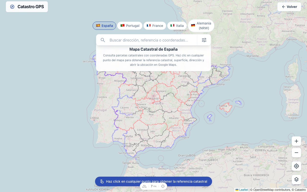
On the German cadastral map, the official cadastral boundaries are laid over the satellite image:
- Open the map and zoom into the municipality.
- Tap the plot: the parcel's boundaries are shown.
- An overview opens with the designation, area and GPS coordinates.
It is free and needs no sign-up.
Step 2 — Use the GPS coordinates
The coordinates are shown in decimal degrees (for example 52.375892, 9.735603). Every navigation device understands that format.
Copy the coordinates into Google Maps, your satnav or a hiking app: the point lands in the middle of the parcel.
Step 3 — For plots without road access
Agricultural and forestry parcels often have no address. The satnav takes you to the nearest drivable point; you walk the last stretch.
For that it pays to take not just the centre point but the outline with you: the Catastro GPS app shows the outline and your position as you walk; as a KML file you open the parcel in Google Earth with its boundaries drawn, as GPX you load it onto an outdoor GPS. That way you see the boundary while you are standing on it.
Important: the cadastral boundary is not the property boundary
The cadastre serves to describe and tax land. The boundary drawn on it is a very good guide: for searching, for a first assessment, for a conversation with the neighbour.
A boundary only becomes legally binding through a boundary determination by a publicly appointed surveyor (ÖbVI). If you want to build, sell or settle a boundary dispute, there is no way round it.
Frequently asked questions
Is it free? Yes. Viewing the map, searching for a parcel and reading the coordinates costs nothing.
Can I also see the owner? No. Owner data is in the land register (Grundbuch), not the cadastre, and under section 12 of the Land Register Code (GBO) access is limited to people with a legitimate interest; a purely commercial interest is not enough.
Does it work in other federal states? Yes, in most of them. Each state provides its own ALKIS data, so coverage and level of detail differ.
I only have the address, not the parcel number. Then go the other way round: search for the address on the map, tap the plot and read off the designation.
The same guide for Hesse: finding a parcel in Hesse. And how to track down the boundary points on site is in finding boundary stones with GPS.