You want to see the boundaries of a German parcel (Flurstück) on the satellite image: to find an inherited plot, check a boundary or locate a piece of woodland. Google Maps alone does not show this: cadastral data is not one of its layers.
Here is how to do it anyway, for free.
Why Google Maps does not show parcel boundaries
In Germany the cadastre is kept by the federal states (ALKIS, the official cadastral information system). Each state runs its own geoportals and services. Google does not include this data: on Google Maps you see roads and buildings, but never parcel boundaries or parcel numbers.
Parcels over the satellite image: the simple solution
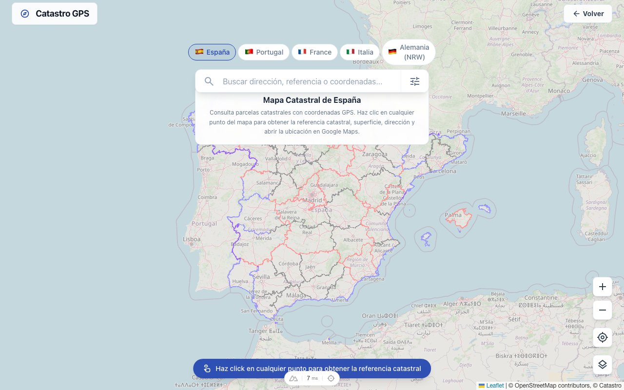
On the German cadastral map, the states' official cadastral maps are laid directly over the satellite image, in a Google Maps-style interface:
- Open the map and go to the area you want: parcel boundaries appear over the aerial photos.
- Tap a parcel: you get the Gemarkung, Flur, Flurstück number, area and GPS coordinates.
- With the coordinates, navigate straight to the plot with Google Maps or a navigation app: handy for woodland and fields with no address.
The map is free to use, with no registration. On your phone, the Catastro GPS app does the same and shows your position on the parcel when you get there.
Search by parcel identifier
If you have the identifier from a land register extract, purchase contract or tax notice (Gemarkung, Flur, Flurstück):
- Enter it in the map search: the parcel is located on the map, with its boundaries, area and GPS point.
- From the detail view, open the position directly in Google Maps.
Coverage, honestly: the search currently works in 15 of the 16 federal states. Bavaria is still missing because its cadastral data is not freely available. You can use the satellite map with parcel boundaries in every state that is available.
Some states have their own overviews, for example parcels in Lower Saxony with the official ALKIS data over the satellite image.
What about the owner?
Worth knowing: the cadastre describes a parcel's location and shape. Who owns it is in the land register (Grundbuch), and in Germany inspecting it requires a legitimate interest (an application to the land registry office). No online map service can legally tell you the owner. The legal ways to find the owner in Germany.
Summary
| Goal | Tool |
|---|---|
| Parcel boundaries on the satellite image | German cadastral map |
| Find a parcel by identifier | Map search |
| GPS coordinates + navigation to the plot | Map → Google Maps, or the app |
| Find out the owner | Land registry office (legitimate interest) |
What the parcel identifier means exactly and where to find it, we explain here.