
You have a Flurstück number (the German cadastral parcel number).
Perhaps it is in the land register extract, the purchase contract or the property tax notice.
And you simply want to know: where exactly is this plot?
Not on a hard-to-read cadastral map extract. On Google Maps, with satellite view, so you can see what is really there: woodland, fields, buildings, access.
The problem: the official cadastre does not give you GPS coordinates. Here is the way.
Why the official portals are cumbersome
In North Rhine-Westphalia (NRW) the cadastre is kept by Geobasis NRW and the municipal cadastral offices (Katasterämter). The main public access points are:
- NRW-Atlas (atlas.nrw.de): shows parcels on a state map, but no GPS coordinates
- BORIS NRW (bodenrichtwerte.nrw.de): standard land values, not meant for GPS searches
- TIM-online: browser-based, slow, no direct GPS export
These portals are useful if you already work in NRW systems. But if you just want the coordinates to visit a plot or open it in Google Maps, they are a detour.
Flurstück coordinates on the map
The German cadastral map connects directly to the official cadastral services and returns the GPS coordinates of each parcel.
What you need
The parcel identification. It consists of:
- Gemarkung: the name of the historical cadastral district (not always the same as today's municipality name)
- Flur: a number that divides the Gemarkung into sections
- Flurstück: the actual parcel number, sometimes with a denominator (e.g.
42/3)
Example:
Gemarkung: Köln-Lindenthal
Flur: 4
Flurstück: 123/5
You will find these details in:
- the land register extract (Grundbuchauszug, inventory section)
- the tax office's property tax notice (Grundsteuerbescheid)
- the purchase contract or notarial deed
Step by step
Step 1: Open the map
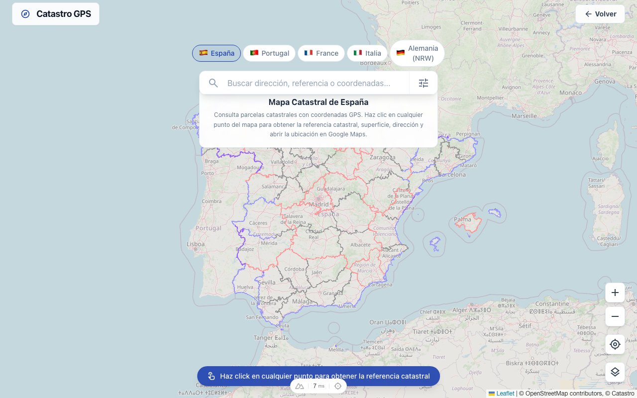
Go to the German cadastral map. No account needed. On your phone, the Catastro GPS app does the same and shows your position on the parcel once you are there.
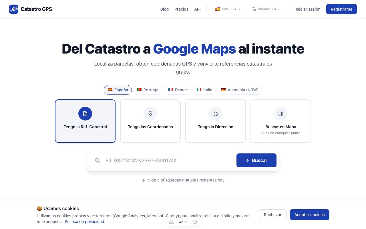 The interface works straight in the browser, including on a smartphone
Step 2: Enter the parcel details
Enter the Gemarkung, Flur and Flurstück.
Tip: for the Gemarkung, the first few letters are enough: the matching district is suggested automatically.
Note: coverage goes well beyond NRW: parcels in 15 of the 16 federal states are shown. Bavaria is missing because it does not make its cadastral data openly available.
Step 3: Get the coordinates and open them in Google Maps
In a few seconds you get:
- the GPS coordinates (latitude/longitude) of the parcel's centroid
- the official area in m²
- the parcel's exact outline on the map
- a direct link to Google Maps
 The cadastral outline is laid over the satellite view
Click "Open in Google Maps" and your browser shows you exactly that parcel on the map, in satellite view.
When is it useful?
Buying a plot: preparing the viewing
You are interested in a plot. The listing has an address, but the agent could not show the exact boundary. With the GPS coordinates you navigate straight there and see immediately: where exactly is the access? How steep is the plot? Who are the neighbours?
Planning applications and development plans
For a planning application you need the plot's exact position relative to public land, roads and the development plan in force. GPS coordinates make surveying and work with GIS software easier.
Community of heirs
An inheritance includes several plots you have never seen. You can see straight away where each one is, whether it is built on and how it is accessed, without arranging a site visit for each plot. Finding land in an estate in Germany.
Forestry and farming
For woodland owners or farmers working several parcels, locating them by GPS from the parcel number is an everyday tool, especially in fragmented land consolidation areas where boundaries are not always visible in the field.
Coordinate systems: WGS84 and Gauss-Krüger
The GPS coordinates you get are in WGS84, the standard system for GPS and Google Maps worldwide.
Official German surveying, however, mainly uses two systems:
| System | EPSG | Use |
|---|---|---|
| UTM/ETRS89 | 25832 (zone 32N) | Current official standard system |
| Gauss-Krüger | 31467 (GK3) | Older maps and documents |
| WGS84 | 4326 | GPS, Google Maps, international use |
Coordinates are provided in WGS84 and, on request, in UTM, so they can be imported directly into QGIS or ArcGIS.
Flurstück vs land register entry
A common mistake: the parcel number and the land register entry are not the same thing.
- The cadastre (Liegenschaftskataster) describes the plot's physical boundaries and is kept by the cadastral offices
- The land register (Grundbuch) describes the legal situation (owner, charges, easements) and is kept by the land registry offices
The two systems are linked but separate. A parcel can sit in a land register folio that covers several parcels, or the other way round.
For legally binding information (owner details, charges), contact the competent land registry office (Grundbuchamt) or instruct a notary. Who can request a land register extract.
Free or paid?
Looking up parcels is free for occasional use, with no sign-up.
For professional users (surveyors, estate agents, notaries' offices, planning firms) the Pro plan offers unlimited lookups, KML/GPX export for Google Earth and QGIS, and an API.
In short
The cadastre does not hand out GPS coordinates: that is the starting point.
The fastest way: parcel number → German cadastral map → GPS coordinates → Google Maps.
Thirty seconds, and you are standing on your plot, virtually.
Frequently asked questions
Can I get the GPS coordinates of a parcel for free? Yes, for occasional use and without registering. For more lookups there is the Pro plan. The official NRW portals such as the NRW-Atlas are also free, but do not give GPS coordinates in the usual format.
Does it work for federal states other than NRW? Yes. Parcels in 15 of the 16 federal states are shown, through each state's official cadastral services. Bavaria is the exception, because it does not make its cadastral data openly available.
I have the parcel number but not the Gemarkung: how do I find it? The Gemarkung is always in the same document as the parcel: in the land register extract (inventory section), the purchase contract or the property tax notice. If all you have is an old handwritten note with the parcel number, the competent cadastral office or the Geobasis NRW portal can help.
What is the difference between the parcel coordinates and the land register position? The cadastre describes the plot's geometric position: its physical boundaries on the ground. The land register describes its legal position: who owns it and what charges weigh on it. The GPS coordinates refer to the cadastral position. For legally binding information about owners or charges, the land register is responsible.
How accurate are the parcel's GPS coordinates? They are based on the official NRW cadastre, kept to the ALKIS standard. Its positional accuracy is generally a few decimetres up to a metre. For orientation and navigation that is more than enough. For official surveys you need a publicly appointed surveyor (ÖbVI).
Can I import the coordinates straight into Google Earth or QGIS? Yes. With the Pro plan you can export the parcel as a KML or GPX file. KML opens directly in Google Earth and shows the parcel's exact outline in 3D. GPX can be loaded into QGIS, ArcGIS or any GPS device.