Every property in Spain has a unique 20-character code.
Think of it as the ID card of your house or plot.
It is called the referencia catastral (cadastral reference) and you need it for almost everything: buying, selling, inheriting, paying taxes or simply finding a parcel on the map.
This guide explains what it is, how it works and how to turn it into GPS coordinates.
What a cadastral reference looks like
It is a string of 20 alphanumeric characters, something like this:
9872023VH5797S0001WX
It looks random, but every part means something.
Let's break it down:
| Part | Characters | What it tells you |
|---|---|---|
| Plot | 9872023 | Identifies the parcel within the municipality |
| Sheet | VH5797S | Area of the cadastral map |
| Unit | 0001 | The specific flat or unit within the building |
| Check | WX | Check characters |
What if I only have 14 characters?
That is normal.
Many documents show only the first 14 characters. They identify the parcel, but not the individual flat.
For a flat in a building you need all 20.
For a rural plot, 14 are enough.
Both formats work: 14 or 20 characters. Enter what you have and you will get the location.
Where to find it
The cadastral reference appears in several places.
Do you have a rural property identified only by polígono and parcela? See how to find a property by polígono and parcela.
On the IBI tax bill
This is the easiest place.
The bill for the IBI (Impuesto sobre Bienes Inmuebles, the annual property tax) sent by the town hall includes the full cadastral reference.
Look for a field labelled "Ref. catastral" or "Referencia catastral".
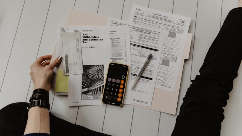 The cadastral reference appears on the IBI bill from the town hall
In the title deed
If you bought or inherited the property, the notarial deed (escritura) includes the cadastral reference in its first pages.
 Notaries have been required to include the cadastral reference since 1996
In a nota simple from the Land Registry
If you request a nota simple from the Registro de la Propiedad, the reference is usually there too.
I can't find it. What now?
If you have no document at hand, you can look it up directly in two ways:
- By address: type the street and number.
- By GPS coordinates: if you know where the parcel is, enter the latitude and longitude.
You get back the cadastral reference and the exact location.
How to turn the reference into GPS coordinates
You have the cadastral reference. You want to know exactly where the parcel is on the map.
Step 1: Open the search
Go to the Parcel GPS home page on your phone or computer.
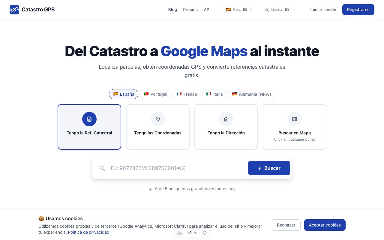 Enter the cadastral reference and get the GPS coordinates
Step 2: Type the cadastral reference
Paste or type the 14 or 20 characters into the search box.
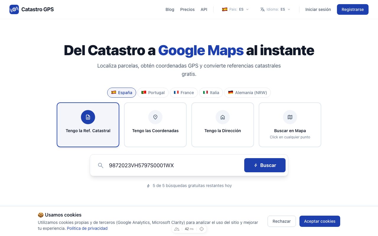 Type the reference and press "Search"
Step 3: Get the coordinates
In under 3 seconds you will have:
- GPS coordinates (latitude and longitude)
- The full address (street, municipality, province)
- Parcel details (area, use, year of construction)
- A button to open it in Google Maps in one click
Step 4: Open it in Google Maps
Press the Google Maps button and it takes you straight to the location.
Switch on satellite view to see the actual plot.
On your phone, the Catastro GPS app does the same and also shows where you are standing in relation to the parcel.
It also works the other way round
You are not limited to searching by cadastral reference. You can also go:
- From GPS to reference: you have coordinates and want to know which parcel it is.
- From address to reference: you know the street but not the cadastral reference.
All three searches are on the home page.
See the parcel on the interactive map
If you prefer to browse visually, there is an interactive map with the Catastro layers on top.
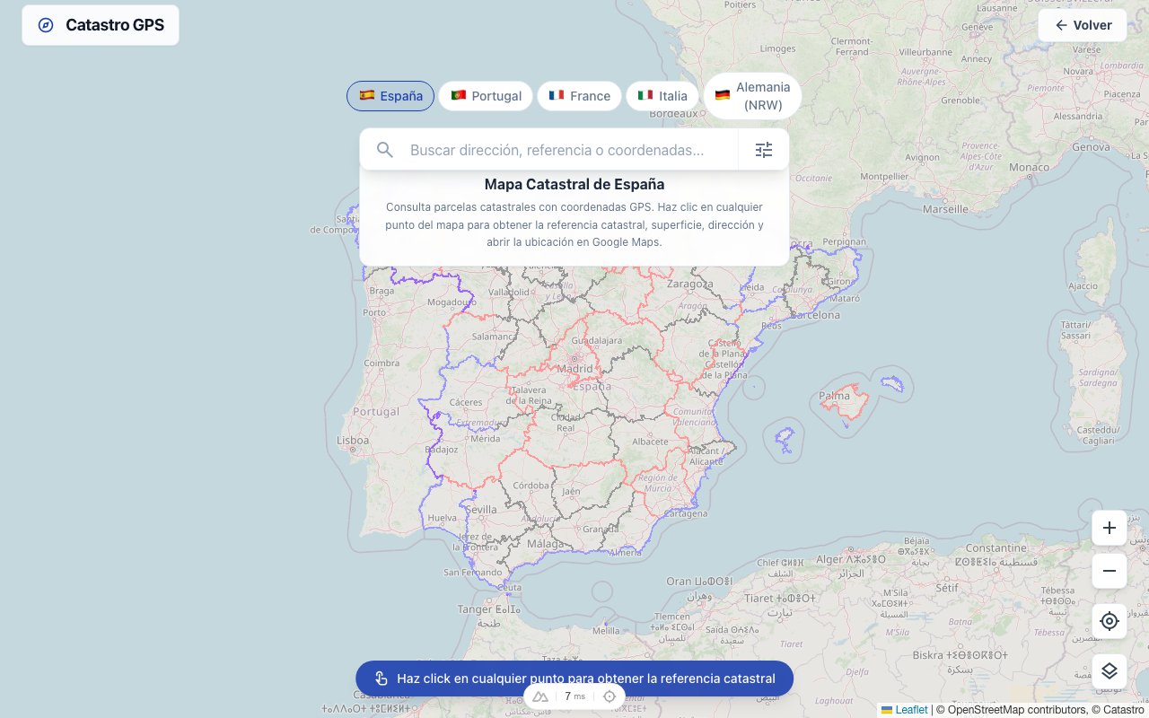 Browse the map and click any parcel to see its details
You can:
- See the boundaries of every parcel
- Click one to see its cadastral reference
- Switch between map, satellite and hybrid
- See historical aerial photos (orthophotos)
Common mistakes
Confusing the cadastral reference with the registry number
They are different things.
The cadastral reference belongs to the Catastro (Ministry of Finance). The registry reference belongs to the Registro de la Propiedad (Ministry of Justice). A property can have both, but the codes are different.
Copying the characters wrongly
When copying from a paper document it is easy to mix up:
- The letter O and the number 0
- The letter I and the number 1
- The letter S and the number 5
If the search finds nothing, check it character by character. A single mistake and it will not work.
Using an old reference
The Catastro gets updated. If the property has been split, merged or had its boundaries changed, the reference may have changed too.
Free or paid?
There is a free plan that is enough for occasional lookups.
If you need unlimited searches, KML/GPX export or the full parcel polygon, there is the Pro plan.
Summary
| You need to... | What to do |
|---|---|
| Know which parcel it is | Enter the reference in the search box |
| Find the parcel on a map | Press "Open in Google Maps" |
| Search without the reference | Search by address or GPS coordinates |
| See the parcel's boundaries | Use the interactive map |
Try it now on the Parcel GPS home page. It is free.