You have a cadastral reference.
You want to know where it is on the map.
It takes 3 steps and under 3 seconds.
The problem
A Spanish cadastral reference is a code like 9872023VH5797S0001WX.
It tells you nothing about the location.
You cannot paste it into Google Maps, because Google does not understand cadastral references.
You first need to turn it into GPS coordinates (latitude and longitude).
That is exactly what this search does.
Step 1: Open the search
Go to the Parcel GPS home page on your phone or computer.
No sign-up and nothing to download.
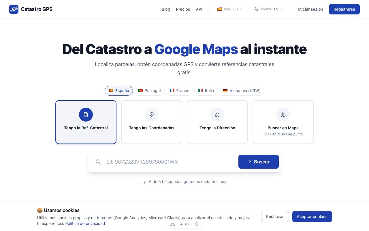 It works in the browser, with nothing to install
Step 2: Enter the cadastral reference
Paste or type the reference into the search box.
Both the short version (14 characters) and the full one (20 characters) are accepted.
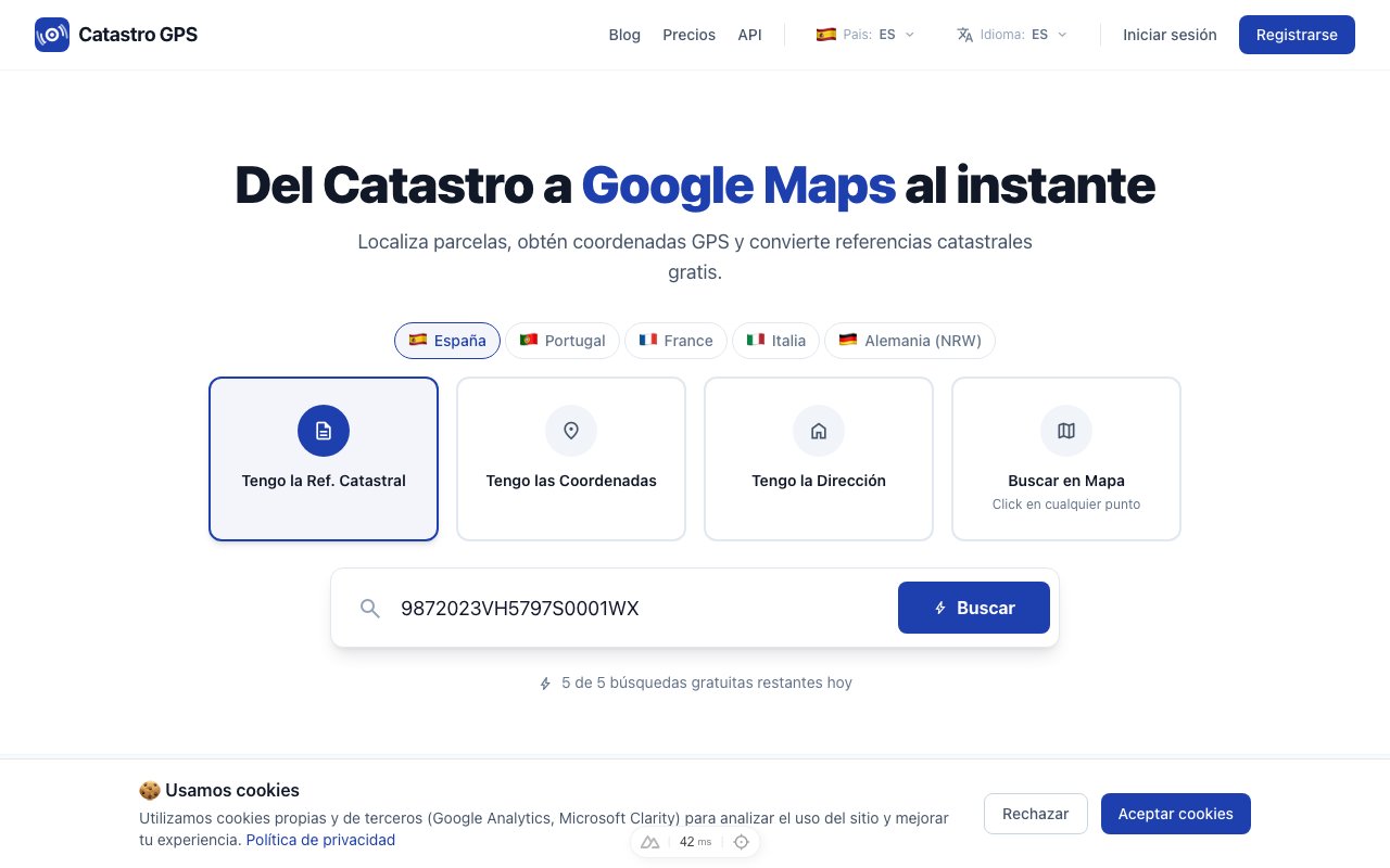 Type or paste the cadastral reference and press Search
Press Search.
Step 3: Open it in Google Maps
In under 3 seconds you will have:
- The exact GPS coordinates
- The full address
- The parcel details (area, use, year)
- A button to open it in Google Maps
Press the Google Maps button and it takes you straight to the location.
Tip: switch on satellite view in Google Maps to see the actual plot from above.
If you are going to visit the property, the Catastro GPS app does all this on your phone and shows where you are standing on the parcel.
It also works the other way round
No cadastral reference, but you know where the parcel is?
The search also works in reverse:
- Switch to the "Coordinates" tab.
- Enter the latitude and longitude.
- You get back the cadastral reference for that location.
Or use the "Address" tab if you know the street.
What if I want to see every parcel in an area?
Use the interactive map.
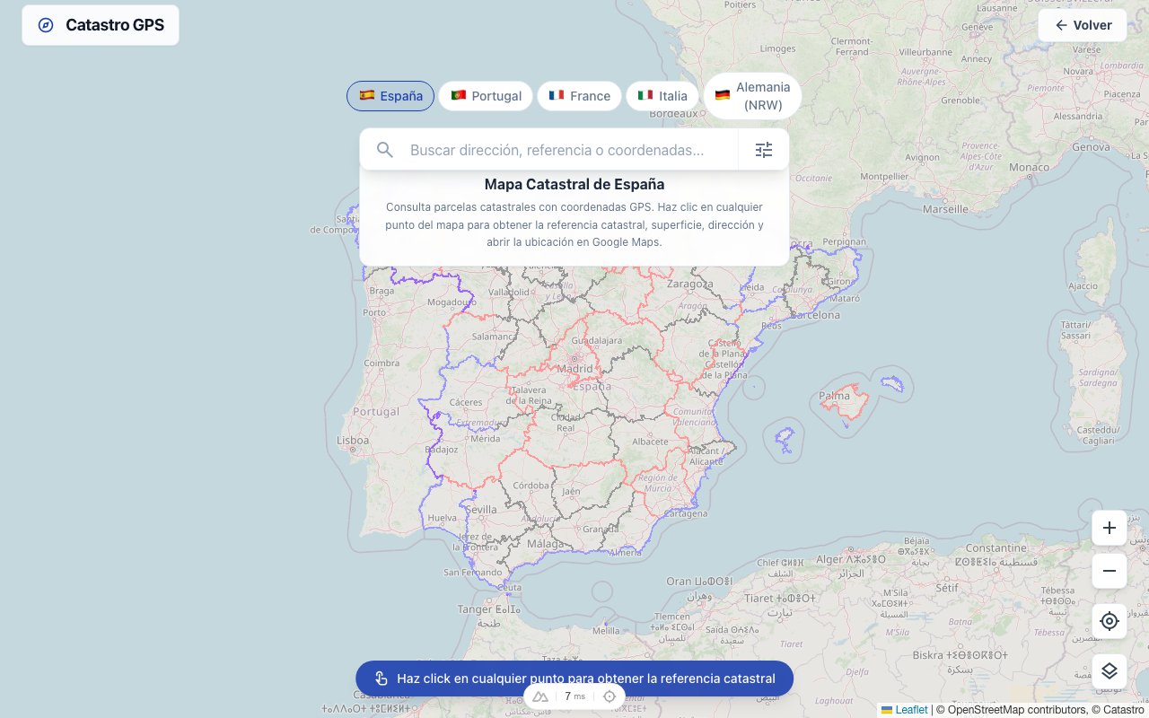 The map shows the boundaries of every cadastral parcel
You can:
- Browse the map and see the parcels drawn on it
- Click any parcel to see its reference
- Switch between map, satellite and hybrid
- See historical orthophotos
Is it free?
Yes.
The free plan covers occasional lookups, with no card required.
For professional use (unlimited searches, KML/GPX export, parcel polygon) there is the Pro plan.
Quick summary
| Step | What to do |
|---|---|
| 1 | Open the Parcel GPS home page |
| 2 | Paste the cadastral reference |
| 3 | Press "Open in Google Maps" |
Three steps. Three seconds. Free.