You are holding an Italian visura catastale (cadastral search).
It says something like: Foglio 15, Particella 342, Subalterno 4.
And you want to know where this piece of land physically is: not on a black-and-white cadastral map sheet, but on Google Maps, where you can see the satellite view and understand exactly what you are looking at.
The problem? The Italian cadastre does not give you GPS coordinates. Full stop.
Here is how to get round that.
What "cadastral coordinates" means
"Cadastral coordinates" (coordinate catastali) can mean two different things, and it helps not to mix them up:
- The coordinates of the cadastral mapping: the Agenzia delle Entrate map is drawn in its own reference systems (historically Cassini-Soldner and Gauss-Boaga, today also RDN2008). They are figures in metres that a navigation app does not understand.
- The GPS coordinates of the parcel: latitude and longitude in decimal degrees (WGS84), for example
43.7696, 11.2558. These are what Google Maps, Waze or a field GPS need.
| What you have | What you need | How |
|---|---|---|
| Foglio and particella from the visura | GPS coordinates of the land | Find the parcel on the map and read its card |
| A point on the land | Foglio and particella | Tap the point on the map |
| GPS coordinates | The land on Google Maps | Paste them into the search bar |
The problem with the official tools
The Italian cadastre is run by the Agenzia delle Entrate (formerly the Agenzia del Territorio). The data is available through:
- The National Geoportal (pcn.minambiente.it): slow, not always up to date
- Cadastral searches on the Agenzia delle Entrate website: they give you registry data but no coordinates
- Individual municipalities' WMS services: only for some cities, with different interfaces everywhere
None of these tools gives you the parcel's latitude and longitude directly.
For a surveyor (geometra) or an estate agent doing dozens of searches a day, it is a real problem.
The solution
Catasto GPS queries Italian open cadastral data (the ondata dataset and the Agenzia delle Entrate's WMS) and converts it into standard GPS coordinates.
What you need
Just the parcel code. You will find it on:
- The visura catastale (free on the Agenzia delle Entrate website for your own properties)
- The deed of sale (rogito notarile)
- The planimetria catastale (cadastral floor plan)
- The municipality's IMU/TASI tax return
How it works, step by step
Step 1: Open the Italian cadastral map
Go to the Italian cadastral map in your browser. Nothing to install, no account. On your phone, the Catastro GPS app does the same and shows your position on the parcel when you are there.
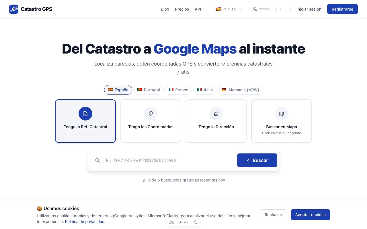 The interface works on desktop and mobile: all you need is the browser
Step 2: Enter the parcel details
Enter:
- Municipality (comune, name or Belfiore code)
- Cadastral foglio (sheet)
- Particella (parcel number)
- Subalterno (optional, for units in a condominium)
Note: the subalterno identifies a single property unit inside a building. If you are looking for land, you will not have a subalterno.
Step 3: Get the coordinates and open them in Google Maps
In a few seconds:
- Latitude and longitude of the parcel's centroid
- Official cadastral area in m²
- The exact perimeter of the parcel drawn on the map
- An Open in Google Maps button
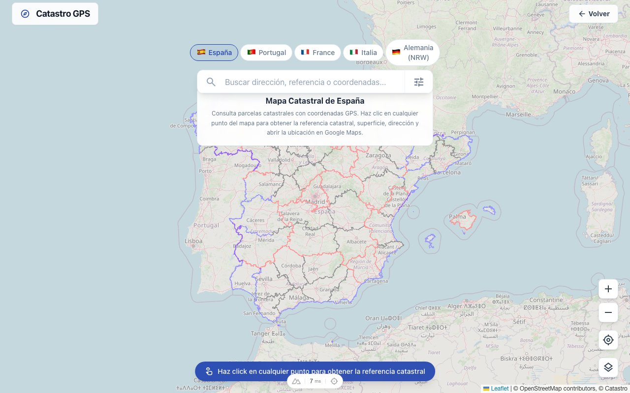 The cadastral perimeter is overlaid on the satellite view
Click Google Maps and you are right above that parcel, with satellite view on.
What it is really for
For surveyors
Preparing a subdivision (frazionamento)? A development plan? Even before the site visit, you want to understand exactly where the parcel is in relation to road access, canals and neighbouring boundaries.
With the GPS coordinates you load it straight into your field GPS or GIS software.
For estate agents
A client asks you to value a piece of agricultural land in the countryside. You have the visura, the foglio and the particella. But the land is out in the middle of nowhere and you have no address.
The GPS coordinates get you there in five minutes with Google Maps.
For private owners
You have inherited land you have never seen. Or you are thinking of buying a farmhouse (rustico) and want to understand the orientation, the neighbours and the access first.
You turn the abstract number on the visura into a real point on the map.
Decimal degrees and reference systems
The coordinates are in WGS84 (the international GPS standard), in decimal degrees.
Example: lat 41.902782, lng 12.496366
If you work with Italian GIS software that uses Monte Mario / Gauss-Boaga (EPSG:3003 / 3004) or the more recent RDN2008 / UTM (EPSG:6706), Catasto GPS also provides the conversion to those systems.
Land cadastre vs building cadastre
Italy has two separate cadastres:
| Cadastre | What it contains | Coordinates available |
|---|---|---|
| Catasto Terreni (land) | Parcels of land, fields, woods | Yes |
| Catasto Fabbricati (buildings) | Homes, shops, offices, sheds | Yes (based on the building's perimeter) |
For units in a condominium (flats), the coordinates are those of the building as a whole, not of the individual flat.
Is the Italian cadastre reliable?
It depends.
Land parcels are generally well updated, because every change (subdivision, merger, change of use) has to be filed within 30 days through DOCFA or PREGEO.
Building floor plans, on the other hand, are often out of date. Many Italian properties have a cadastral floor plan that does not match their current state: renovations done without updating the cadastre, extensions, enclosed terraces.
Warning: for property sales, Italian law (art. 29 of Law 52/1985 as amended by Law 122/2010) requires planning and cadastral conformity. An out-of-date floor plan can block the completion (rogito).
Free access
Looking up parcels is free for occasional use, with no account needed.
For surveyors, estate agencies and notaries' offices doing more searches, the Pro plan offers unlimited searches, KML/GPX export for QGIS or Google Earth, and API access.
In short
The Italian cadastre does not give you GPS coordinates; we are telling you straight away so you do not waste time on the official portals.
The shortest route: visura catastale → Italian cadastral map → GPS coordinates → Google Maps.
Thirty seconds, from the foglio to the satellite.
Frequently asked questions
Are the GPS coordinates of a cadastral parcel public data? Yes. The geometric data of the Italian cadastre (parcel boundaries, areas, location) is public and freely viewable. Only the owners' personal data is protected and requires a legitimate interest to obtain.
Does the visura catastale give me the GPS coordinates? No. The visura gives the parcel's registry and tax data (category, rendita, registered holders), but no geographic coordinates. To get GPS coordinates you need a dedicated tool. What the visura contains.
Does it work for the whole of Italy? It covers parcels in the land and building cadastres across the whole country. Data quality depends on how up to date the local cadastre is: in large cities and the centre-north, coverage is generally excellent. In Trento and Bolzano the land book system (sistema tavolare) applies.
How do I get the visura catastale of a property? For your own properties, free of charge on the Agenzia delle Entrate website with SPID, CIE or CNS, from your personal area.
What should I do if the parcel cannot be found? Check that the foglio and particella number are correct (look at the visura or the notarial deed). If the parcel was recently subdivided or merged, it may not yet be updated in the open data. In that case, contact the Agenzia delle Entrate's provincial office.
Can I use it on my phone, in the field? Yes. It works in your smartphone's browser, and the Catastro GPS app adds your live position on the parcel. Useful for site visits when all you have is the parcel number and you need to find the physical boundary of the land. How to find land boundaries with GPS in Italy.