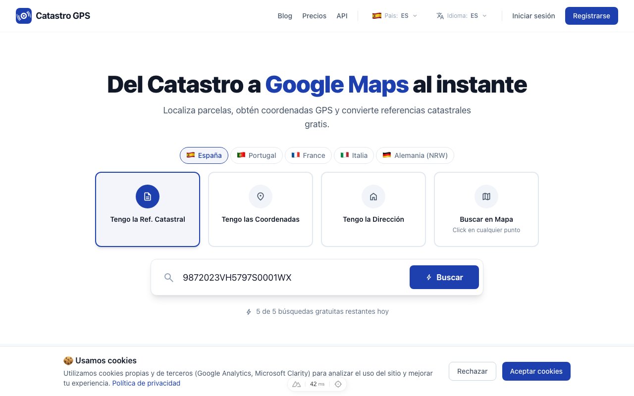
You have a foglio and a particella written on a visura, an inheritance document or an old map, and you want just one thing: to see where that land is and how to get there.
It sounds simple. It is not, because Google Maps does not know the Italian cadastre.
The short answer: Italian cadastral maps cannot be seen inside Google Maps, but they can be seen for free on a map that overlays the cadastre on satellite imagery. From there you take the parcel's GPS coordinates and open them in Google Maps to get there. This guide explains how to actually do it, for free and without signing up.
Why you cannot find the parcel on Google Maps
Italian cadastral maps belong to the Agenzia delle Entrate, which publishes them through its own services. Google does not include them: on its map you see roads, buildings and satellite imagery, but never parcel boundaries or foglio numbers.
That is why, if you type "foglio 12 particella 340" into Google Maps' search bar, nothing happens. It is not your mistake: the data simply is not there.
The route that works is different: turn the foglio and particella into GPS coordinates, and use those on Google Maps.
What you need before you start
Three details, usually all on the same line of the visura:
- Comune: the cadastral municipality where the land is.
- Foglio: usually 1-4 digits (for example 12, or 0012).
- Particella: the parcel number (for example 340).
Sometimes you will also find the subalterno, which identifies a single unit inside a building. You do not need it to find the land on the map.
If you have the full identifier in the format E900_000500.178, it already contains everything: the municipality code, the foglio and the particella. The municipality cadastral code explained.
Step 1 — Find the parcel on the map
On the Italian cadastral map, the cadastral mapping is overlaid on the satellite view:
- Open the map.
- Search for the parcel by identifier, or pan to the municipality and tap directly on the land you are interested in.
- You will see the parcel's boundaries drawn over the satellite photo, with its card: identifier, area and coordinates.
This step is free and needs no sign-up.
Step 2 — Get the GPS coordinates
On the parcel's card you will find the GPS coordinates of its centre, in decimal degrees (for example 42.130174, 12.109935).
They are the same coordinates any navigation app understands: Google Maps, Waze, Apple Maps or a field GPS.
Step 3 — Open it in Google Maps
With the coordinates in hand you have two options:
The quickest: tap the button that opens Google Maps with that point already placed.
By hand: copy the coordinates, open Google Maps and paste them into the search bar. The pin will land exactly on the centre of the parcel.
From there you can switch to satellite view, use Street View if there is a road nearby, or start navigation.
Cadastral parcels on Google Earth (with a KML file)
Like Google Maps, Google Earth does not include Italian cadastral maps, neither the web version nor Google Earth Pro. There is no official cadastral layer inside Google Earth.
What does exist is KML, Google Earth's own format for drawing boundaries on the ground:
- Find the parcel on the Italian cadastral map, by foglio and particella, by address or by tapping the map.
- From the card, download the KML file with the parcel's boundaries (a Pro feature).
- Open it in Google Earth (double-click on desktop, "Open file" on earth.google.com or in the app): the parcel appears drawn over the 3D imagery.
If you only need to see the boundaries on satellite, you do not need Google Earth: the map shows parcels over the orthophotos for free. For the cadastral map on Google Earth across Italy there is also the Italian cadastral map on Google Earth page.
What if the land has no road?
It happens a lot with agricultural land. The navigation app will take you to the nearest point on a road, and you will do the last stretch on foot or with a farm vehicle.
In that case it is better to take the parcel into your GPS rather than follow the navigation app: the Catastro GPS app shows the outline and your position as you walk; exporting to KML lets you open it in Google Earth with its boundaries drawn, and GPX lets you load it onto a field GPS or a hiking app. That way you see the outline of the land as you walk on it, not just a point.
Warning: the cadastral boundary is not the legal boundary
A warning always worth repeating.
The Italian cadastral map has tax purposes, not property delimitation. The boundary you see drawn is an excellent approximation to get your bearings, understand where a plot is or start a negotiation.
But if you need to put in posts, sell or settle a dispute with a neighbour, you need a survey by a qualified professional (geometra, architect or engineer), the only document that stands up before a notary or a judge.
Want to follow the boundary on site? Here is how to find the boundaries of land with GPS. And if you do not recognise the municipality in the identifier, we explain the cadastral code here.
Frequently asked questions
Is it really free? Yes. Viewing the map, searching for a parcel and reading its coordinates costs nothing and needs no account.
Does it work all over Italy? Yes. Almost everywhere with the Agenzia delle Entrate's mapping; in the autonomous provinces of Trento and Bolzano, which have their own cadastre (the tavolare land book system), with the two provinces' data. There you search by cadastral municipality and parcel, for example p.f. 1234/5 C.C. Trento or p.ed. 123 C.C. Bolzano. Guide to the cadastre of Trento and Bolzano (in Italian).
Can I search the other way round, from the point to the parcel? Yes. If you are already on the land, tap the point on the map and get the matching foglio and particella.
What about the visura catastale with the owners? Only the Agenzia delle Entrate issues it. The map covers the geographic side: finding the land, seeing it on satellite and getting there. There are dedicated guides on what the visura contains and how to read the cadastral identifier.
Are the coordinates precise? They show the parcel's geometric centre. On a very long or irregularly shaped plot, the centre may fall on an unrepresentative spot: in that case look at the drawn outline, not just the pin.