You have a plot in Italy (inherited, just bought, or next to yours) and you want to know how far it goes. Fences do not always follow the boundary, rows of vines shift over the years, and the stone markers, if there are any, are hidden in the grass.
With a smartphone you can get within a few metres of the boundary, for free. What you cannot do with an app is establish a boundary that stands up to the neighbour or a judge. This guide explains both.
Three different "boundaries"
It is worth separating three concepts:
- The cadastral boundary: the line drawn on the Agenzia delle Entrate's map. It serves tax purposes and is an excellent indication of the land's shape.
- Boundary markers (termini di confine): stone or concrete posts, stakes or metal studs placed on site to mark the corners.
- The legal boundary: the one that comes from the title deeds and, in a dispute, from a formal determination. It may not match the map to the centimetre.
GPS helps you get from the first to the second: using the map to find the markers on the ground.
Step 1 — See the parcel on the satellite view
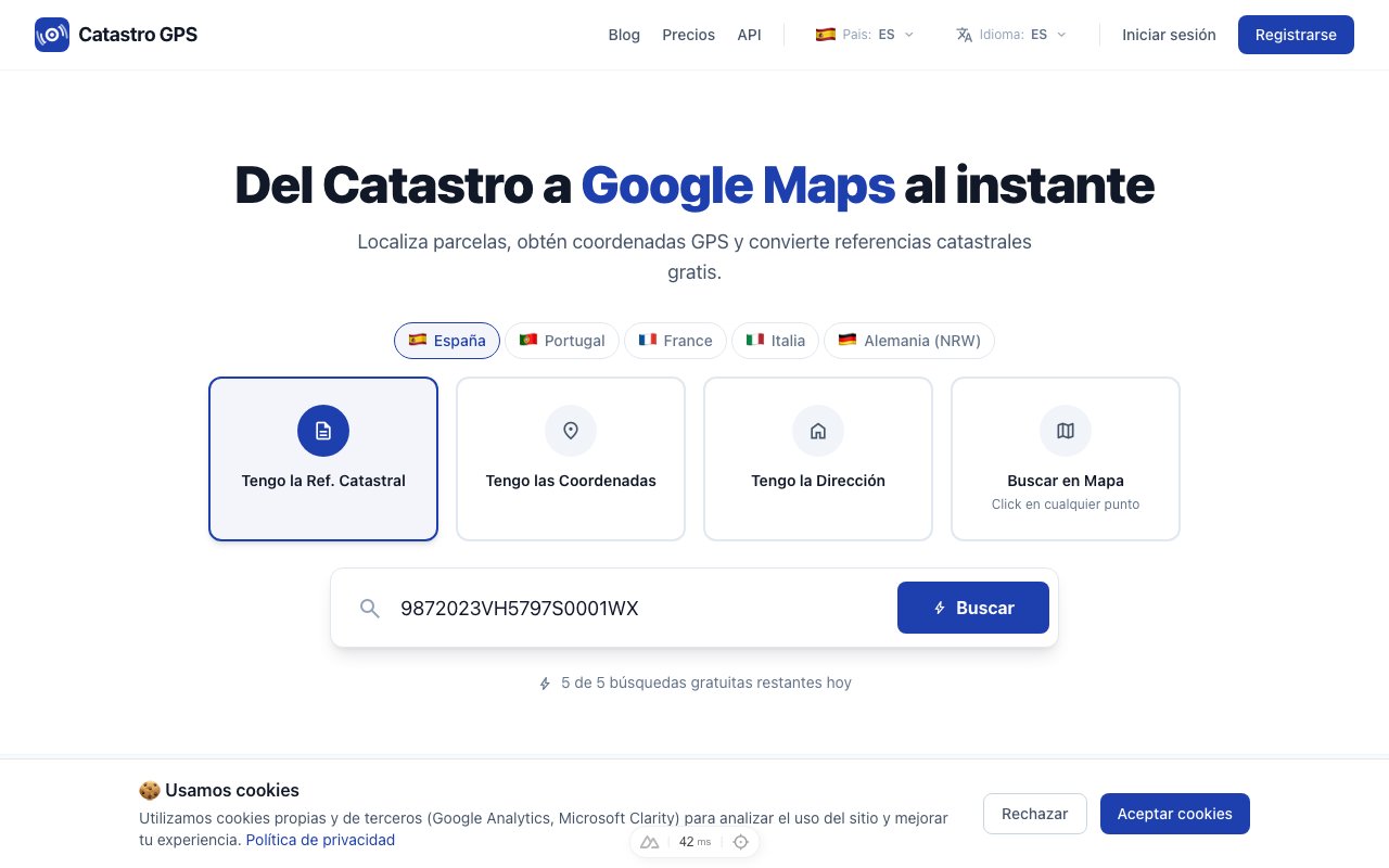
On the Italian cadastral map, the cadastral mapping is overlaid on the satellite view.
- Look up the parcel by its identifier (municipality, foglio and particella), by address, or pan to the area.
- Tap the land: the card shows the identifier, the area and the GPS coordinates of its centre.
- Look at the outline on the aerial photo. Ditches, dry-stone walls, hedges and changes of crop often coincide with the boundary.
If all you have is the foglio and particella, here is how to find them on the map step by step.
Step 2 — Go there and follow your position
On the land, what you need is to see together the parcel outline and where you are.
- On the web map, the location button centres the view on your GPS position.
- The Catastro GPS app shows your position directly on the parcel boundaries: you walk, the dot moves, and you see when you are getting close to a corner.
Start from the corners: that is usually where the markers are. On long, straight sides there may also be some halfway along.
Step 3 — Look for the markers
Once you are a few metres from the corner shown on the map, GPS has done its part. The rest is done by eye:
- Look for squared posts (cippi) barely sticking out of the ground, often with a cross or a hole on top marking the exact point.
- On more recently divided land you will find stakes or metal studs, sometimes on a low wall or a kerb.
- Check the foot of walls, fence posts and rows of trees: markers often end up there.
One rule not to forget: markers are never moved. Removing or moving a boundary marker, even slightly, alters the boundary and can have consequences, including criminal ones.
How accurate is all this?
Two margins of error add up.
Your phone's GPS: outdoors, three to five metres. Under trees, near a building or in a narrow valley, much more.
The cadastral map: in many agricultural areas it derives from hand-drawn original maps (mappe d'impianto), later digitised. The offset from reality can be several metres, especially in hills and mountains.
The moral: if you find a marker two or three metres from the drawn corner, the marker counts, not the line.
When you need a surveyor
If the markers cannot be found, if the neighbour disputes, or if you need to build a fence or wall on the boundary, you need a qualified professional (geometra, engineer or architect).
- Riconfinamento is the survey in which the professional rebuilds the map's boundary on the ground, relying on the cadastre's fiducial points (punti fiduciali), and marks it with new markers.
- Placing markers (apposizione di termini) can be requested by either owner when they are missing or have become unrecognisable (article 951 of the Civil Code), with costs shared.
- If the boundary is uncertain and there is no agreement, it comes down to an action to settle boundaries (regolamento di confini, article 950): the judge may use any means of evidence and, failing anything else, relies on the cadastral maps.
What to prepare before calling the professional
Arriving with these saves time and site visits:
- the cadastral identifier of your land and of the neighbouring plots;
- the title deed (sale, inheritance), which sometimes refers to old subdivisions;
- any earlier subdivision plans (tipi di frazionamento) or surveys;
- photos of the markers you found, with their GPS position.
To record a point precisely, see how to get the GPS coordinates of an Italian parcel.
Frequently asked questions
Can an app stake out my land? No. An app locates, measures and helps you search. Staking out a boundary that binds the neighbour is a job for a qualified professional.
The fence does not match the map: who is right? Neither proves the boundary on its own. The fence may have been put in the wrong place and the map may be off. If the gap matters, you need a riconfinamento.
Can I measure the land on the map? Yes, with the measuring tool you get distances and areas on the satellite photo. The area on the card is the cadastral one and may differ from the real area.
Does it work all over Italy? Yes, with the Agenzia delle Entrate's mapping, and in Trento and Bolzano with the land book (tavolare) data of the two provinces. For a specific area you can start from the municipality's page, for example the cadastre of Perugia or of Siena (pages in Italian).