You are out in the countryside. Your phone says you are at 40.416775, -3.703790.
But what you need is the cadastral reference of the parcel you are standing on.
That is called a reverse search, and it takes seconds.
When you need to search by coordinates
You are physically on the parcel
You are visiting a rural property, a plot for sale or an inherited piece of land. You have your phone's GPS but not the cadastral reference.
You work with drones or aerial images
Every drone photo carries GPS coordinates in its EXIF metadata. You need to link each photographed area with its cadastral parcel.
You are checking boundaries between parcels
You are standing on the line between two properties and want to know exactly which cadastral reference each side has.
You log points with a professional GPS
You are a surveyor and have recorded waypoints. Now you need to link each point with its cadastral parcel for the report.
Step by step
Method 1: Use your current location (in the field)
The fastest way when you are on site with your phone:
- Open the Parcel GPS home page in your phone's browser, or the Catastro GPS app.
- Tap the location icon.
- Your GPS coordinates are detected automatically.
- You get the cadastral reference of the parcel you are on.
Tip: the browser version needs no installation. The app adds your live position on the parcel's boundaries.
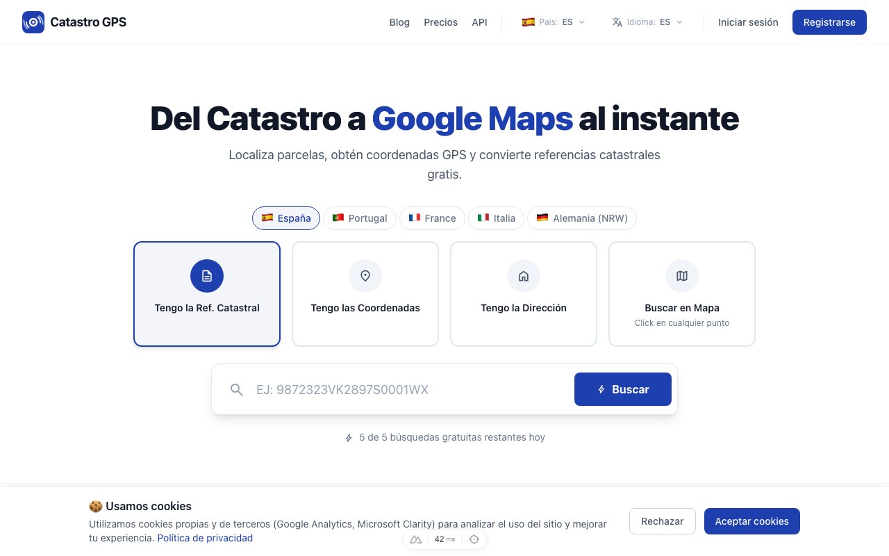 Open the search on your phone and tap the location icon
Method 2: Enter the coordinates by hand
If you have written the coordinates down (from a GPS, a drone or Google Maps):
- Open the search page.
- Switch to the "Coordinates" tab.
- Enter latitude and longitude (for example:
40.416775, -3.703790). - Press Search.
In under 3 seconds you will have the cadastral reference, the address and the parcel details.
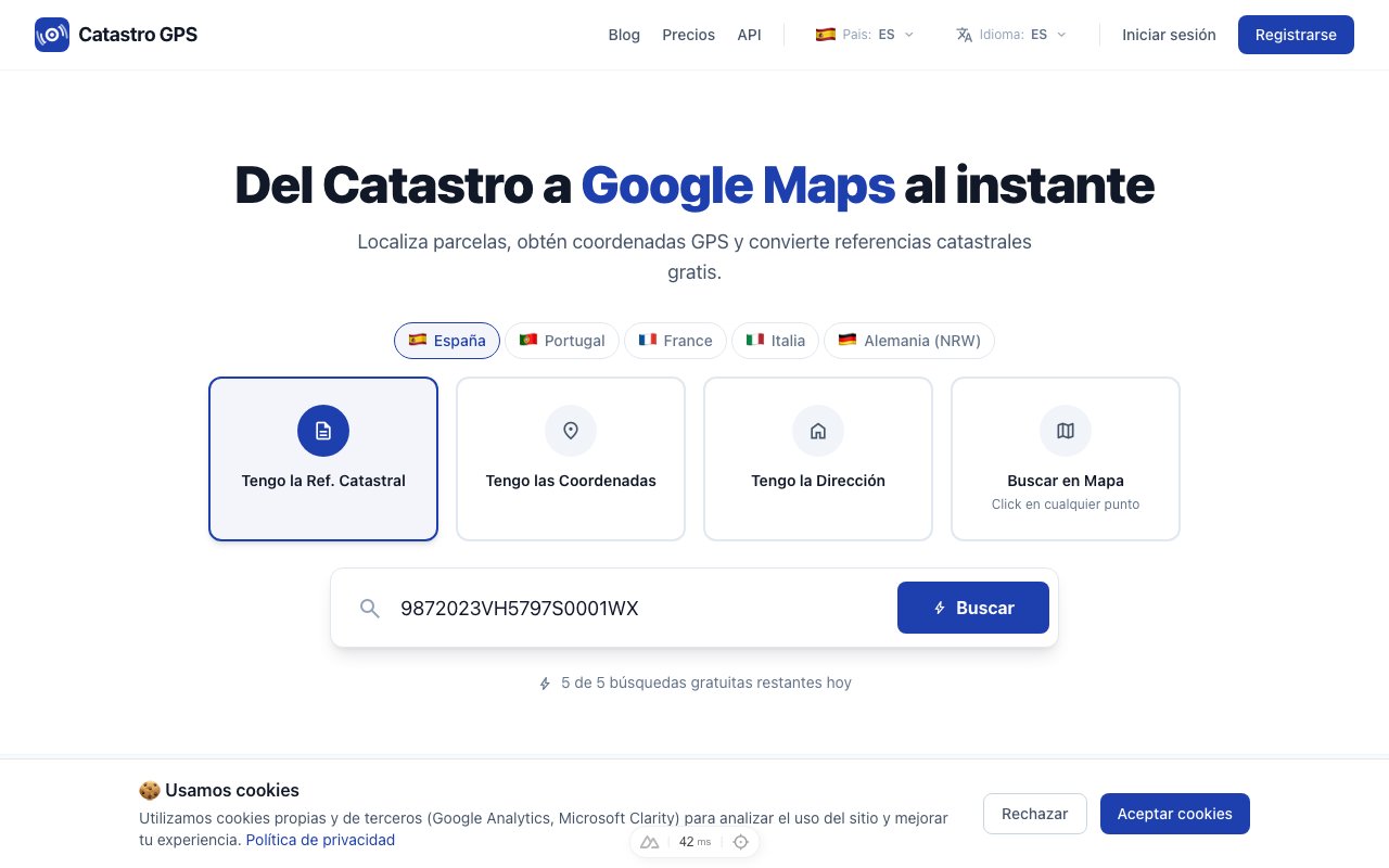 Enter the coordinates and get the cadastral reference straight away
Method 3: Click on the map
No exact coordinates, but you know the area?
- Open the interactive map.
- Pan to the area you are interested in.
- Click the point on the map.
- The parcel is identified and its reference shown.
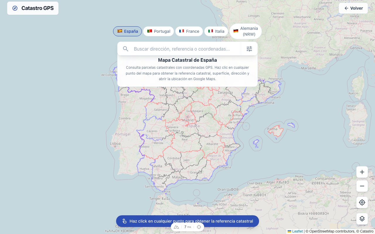 Click any point on the map to identify the parcel
Coordinate formats accepted
It does not matter which format your coordinates are in:
| Format | Example | Where you find it |
|---|---|---|
| Decimal degrees | 40.416775, -3.703790 | Google Maps, map apps, modern GPS devices |
| Degrees, minutes, seconds | 40° 25' 0.39" N, 3° 42' 13.64" W | Traditional mapping, official documents |
| UTM (EPSG:25830) | X: 440326.50, Y: 4474352.30 | Cadastral data, topographic plans |
Do not worry about converting: the format is detected automatically and converted for you.
How to get your GPS coordinates
From Google Maps
- Long-press a point on the map (phone) or right-click (computer).
- The coordinates appear at the bottom.
- Copy and paste them into the search box.
Straight from your phone
On an iPhone, open the Compass app and you will see the latitude and longitude at the bottom.
On Android, switch location on and any map app will show you the coordinates.
From a professional GPS
Field GPS units (Trimble, Leica, Garmin) store coordinates in WGS84 or UTM. Export the points and use them directly.
Accuracy: what to expect
Accuracy depends on where your coordinates come from:
| Source | Typical accuracy | Enough to identify the parcel? |
|---|---|---|
| Phone GPS | 3-10 metres | Yes, in most cases |
| Google Maps (click) | 1-5 metres | Yes |
| Professional GPS | Centimetres | Yes, always |
In urban areas Spanish cadastral mapping is very precise. In rural areas there can be discrepancies of several metres. If you are right on the line between two parcels, use a more accurate GPS.
Who uses it in practice
| Profile | Use case |
|---|---|
| Estate agent | Visits a property and checks the cadastral data instantly on the phone |
| Farmer | Identifies the cadastral reference of a neighbouring property without digging through papers |
| Land buyer | Checks the area and cadastral data before making an offer, from the plot itself |
| Inspector or expert witness | Documents the exact location of a property and links it to its cadastral reference |
Direct search vs reverse search
| Direct search | Reverse search | |
|---|---|---|
| Input | Cadastral reference | GPS coordinates |
| Output | GPS coordinates | Cadastral reference |
| When to use it | You have documents (IBI bill, deed) | You are on the land |
| Accuracy | Exact (official data) | Depends on the GPS used |
Both are available for free on the Parcel GPS home page.
Summary
| You need to... | What to do |
|---|---|
| Know which parcel you are standing on | Tap the location icon |
| Search with coordinates you already have | "Coordinates" tab |
| Explore an area on the map | Use the interactive map |
| Go the other way (reference to GPS) | "Cadastral reference" tab |
Try it now on the Parcel GPS home page. It is free and works on your phone.