
You have a Portuguese cadastral reference in your hands.
Something like: Artigo 456, Secção B, Freguesia de Alcoutim.
You want to know exactly where that land is: not on a black-and-white schematic map, but on Google Maps, with satellite view, to see what is around it, how you get in and whether what you were told matches reality.
The problem is that the official systems do not give you GPS coordinates directly.
Here is how to solve that.
The cadastre in Portugal: two systems side by side
Portugal has a particular cadastral situation: two systems coexist (and sometimes conflict).
The Cadastro Predial
Run by the Direção-Geral do Território (DGT), the cadastro predial is the geometric register of rural and urban properties.
The catch: the DGT cadastre covers about half of mainland Portugal, mainly the south and centre. In areas without a cadastre, property boundaries are not officially delimited.
The Matriz Predial
Run by the Finanças (AT, the Tax Authority), the matriz predial is the tax register of properties: it is where the artigo matricial number that appears on the deed and on the IMI notice comes from.
The matriz contains tax data (taxable property value, area, type of property) but no geographic coordinates.
How to get the GPS coordinates of an artigo matricial
The most direct solution is to look up the land by its artigo matricial on Cadastro GPS (page in Portuguese), which matches the tax register data with the available cadastral mapping to return the property's geographic location.
What you need
The full artigo matricial. You will find it:
- In the deed of sale or the declaration of heirs
- On the caderneta predial (free from the Finanças with a NIF)
- On the IMI notice sent by the Finanças
- In the Land Registry (Conservatória do Registo Predial)
Step by step
1. Open Cadastro GPS
Go to the Portuguese cadastral map on your phone or computer. No account, nothing to install. If you are heading to the land, the Catastro GPS app does the same on your phone and shows your position on the parcel.
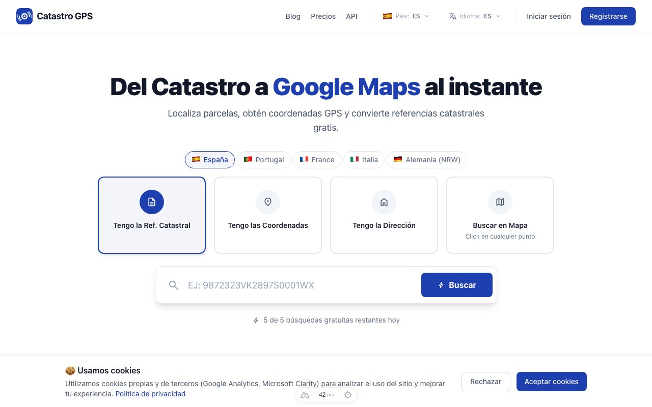 The interface is designed to be fast: the result comes up in seconds
2. Enter the property details
Enter:
- Parish (freguesia) or municipality (concelho)
- Type of property: rural or urban
- Artigo matricial
- Unit (fração, if applicable, for flats and other independent units)
3. Get the coordinates and open them in Google Maps
In a few seconds you will have:
- Precise latitude and longitude
- The property's official area in m²
- The exact outline of the parcel drawn on the map
- A button to Open in Google Maps
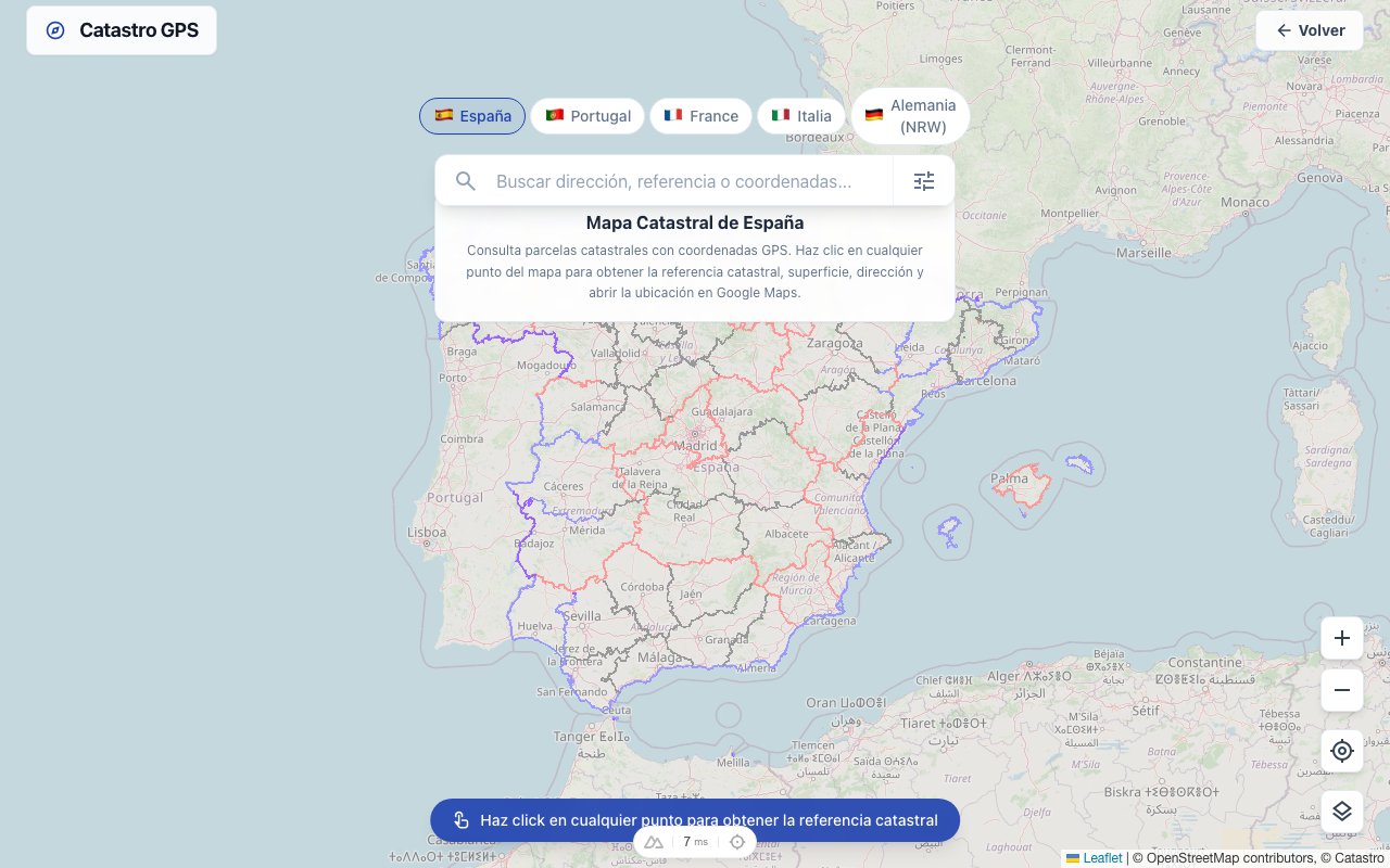 The cadastral outline is overlaid on the satellite view
Practical cases: when is this useful?
Buying rural land
You are assessing farmland in the Alentejo. The seller says it has water, good access and good sun. With the GPS coordinates you check all of that before going there, or before hiring a lawyer.
Managing inherited land
An inheritance includes several artigos matriciais in different municipalities. Instead of trying to work out each location from vague descriptions in old documents, you convert each reference into coordinates and see everything on the map.
Planning applications
For a planning application or a prior notification, you need to state the exact location of the property. GPS coordinates make it easier to fill in council forms and prepare drawings.
Identification in the field
For surveyors and land engineers, having GPS coordinates straight from the tax reference saves time in the field: they load the coordinates into the field GPS and go straight to the spot.
Rural vs urban property in the cadastre
| Type | What it identifies | Typical data |
|---|---|---|
| Rural property (prédio rústico) | Farmland, woodland, uncultivated land | Area, crops, section, article |
| Urban property (prédio urbano) | Buildings and building plots | Gross area, plot area, article, unit |
| Mixed property (prédio misto) | Rural part + urban part | A combination of the above |
For urban properties under horizontal property (flats), the reference also includes the fração autónoma (e.g. Fração AC).
BUPi and the new cadastral mapping
Since 2018, Portugal has been developing the Balcão Único do Prédio (BUPi) to digitise and georeference properties that have no cadastre.
The process requires owners to submit the outline of their properties using GPS or shapefiles. As submissions progress, the cadastre's geographic coverage grows. How BUPi works and how to see your land.
Current situation (2026): the DGT cadastre mainly covers the south and centre. In the north, where small holdings dominate, delimitation is advancing mostly through BUPi.
Cadastro GPS shows the boundaries of the official DGT cadastre and the BUPi graphic representations: 5.5 million properties. You can search by article with the parish (for example R-218 Palaçoulo) or by BUPi process number. Lisbon, Porto and other cities do not have a geometric cadastre yet.
Caderneta predial: the most useful document
The caderneta predial is the Finanças extract summarising the details of the artigo matricial. You can request it free of charge on the Portal das Finanças with your NIF.
It contains:
- The artigo matricial
- A description of the property (location, area)
- The taxable property value (VPT)
- The holders
It is the ideal starting document for any cadastral search. What the caderneta predial is.
Free or paid?
Looking up parcels is free for occasional use.
For professional use (surveyors, lawyers, estate agents, managers of inherited land), the Pro plan offers unlimited lookups, KML/GPX export and API access.
In short
Turning an artigo matricial into GPS coordinates should not be hard.
Reference → coordinates → Google Maps. Under a minute from the document to the map.
Frequently asked questions
Are the GPS coordinates of a cadastral parcel public data in Portugal? Yes. The geographic location and boundaries of properties in the cadastre are public data. What is not public, without showing a legitimate interest, is the holders' data (name, NIF). Cadastro GPS only shows the location and area, never owners' personal data.
What if my property has no cadastre? Portugal's cadastral coverage is incomplete. We combine the DGT cadastre and BUPi (5.5 million properties), but Lisbon, Porto and other cities do not have a geometric cadastre yet. If the property is in neither, we cannot show its boundaries yet. If precision is critical (court cases, planning), contact a surveyor for formal georeferencing.
What is the difference between the caderneta predial and the land registry certificate? They are documents from different systems. The caderneta predial (Finanças/AT) is the property's tax extract: it contains the artigo matricial, the taxable value and the holders for tax purposes. The land registry certificate (Conservatória) legally proves ownership and records mortgages, easements and other charges. For any property transaction you need both. How to get the certidão permanente.
Can I use it in the field, on my phone? Yes. It works in your smartphone's browser with nothing to install, and the Catastro GPS app adds your live position on the parcel. It is useful for surveyors and farmers who need to confirm a parcel's limits in the field: they enter the artigo matricial, get the coordinates and open them straight in Google Maps or a field GPS.
Does it work for urban properties (flats)? Yes, with one nuance: for flats under horizontal property, the coordinates correspond to the building as a whole, not the individual unit. The cadastre has no unit-specific coordinates: the unit is identified legally in the Land Registry, not in the geometric cadastre.
Can anyone request the caderneta predial? The caderneta predial of a property that is not yours can only be requested through the Portal das Finanças by showing a legitimate interest (for example, as a prospective buyer). For your own properties you can request it free of charge at any time on portaldasfinancas.gov.pt.