You have a French cadastral reference in front of you.
Something like AB 0042 or 000 AB 0042.
And you want to know exactly where that parcel is: not on Géoportail with its 2000s-style interface, not on the slow tax website, but straight on Google Maps.
Here is how to do it in under 30 seconds.
Why it is complicated with the official tools
The French cadastre is run by the Direction Générale des Finances Publiques (DGFiP), the public finance directorate. You access the data through cadastre.gouv.fr or Géoportail.
These tools work, but they have their limits:
- Géoportail shows you the parcel on its own map, not on Google Maps
- cadastre.gouv.fr requires you to know the exact commune before searching
- Neither gives you the GPS coordinates (latitude/longitude) directly
If you are a surveyor, notary, estate agent or simply an owner, you lose a lot of time moving between these interfaces.
The direct method
Cadastre GPS connects directly to French cadastral data (through IGN's Géoportail WFS service) and converts it into usable GPS coordinates.
What you need
Just the cadastral reference. You will find it on:
- Your title deed
- Your property tax notice (avis de taxe foncière)
- An extract of the cadastral plan from cadastre.gouv.fr
The reference is made up of: commune code + section + parcel number.
Example: 69123 A 0042 (Lyon, section A, parcel 42)
Step by step
1. Open the French cadastral map
Open the French cadastral map on your computer or phone.
No sign-up required. In the field, the Catastro GPS app does the same on your phone and adds your live position on the parcel.
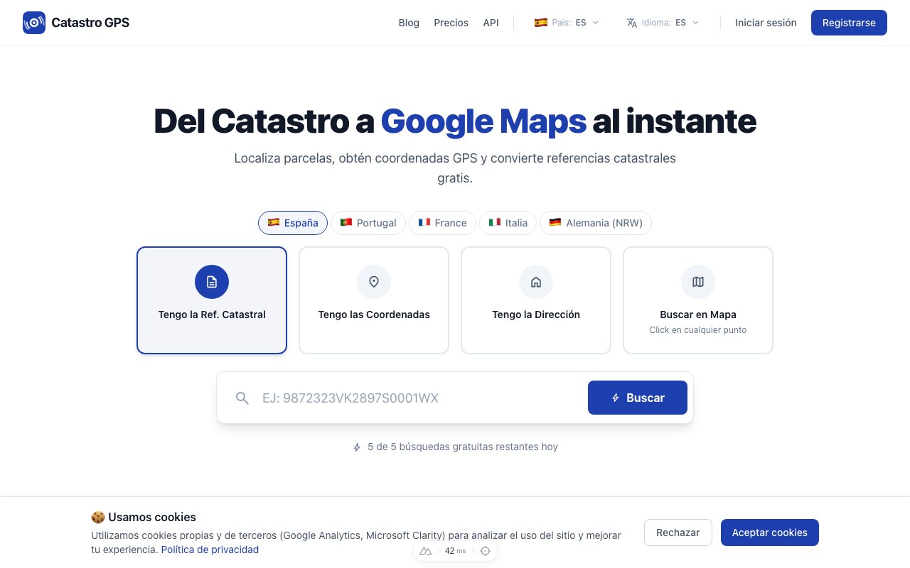 The interface is built for speed: you get the coordinates in seconds
2. Enter the cadastral reference
Type your reference into the search box.
The format is flexible: with or without spaces, with the commune code or just section + number if you are already looking at a commune.
Tip: if your reference comes from a notarial deed, copy and paste the whole code: the format is recognised automatically.
3. Get the coordinates and open them in Google Maps
In a few seconds you get:
- Precise latitude and longitude of the parcel's centroid
- The official area in m²
- The exact outline of the parcel drawn on the map
- An Open in Google Maps button
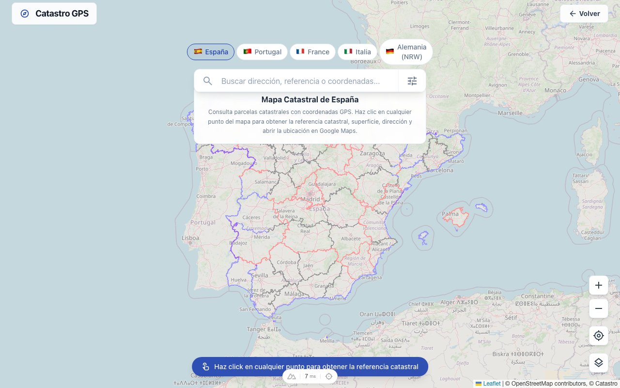 The parcel outline is overlaid on the satellite map
Click the Google Maps button and your browser takes you straight to the spot, in satellite view.
Practical cases: what is it really for?
Before a site visit
You are buying land and want to go and see it before signing. Rather than trying to interpret a black-and-white cadastral plan, you have the GPS coordinates: you copy them into your satnav or Waze and arrive exactly at the parcel.
Checking boundaries
A neighbour disputes your property's boundary. You take the coordinates of your parcel's corners and compare them with the physical markers. Two minutes' work.
Planning applications
For a building permit or a prior declaration (déclaration préalable) you often need the land's Lambert 93 coordinates. Cadastre GPS also shows coordinates in Lambert 93 (EPSG:2154), the official French projection.
What if the parcel is not in mainland France?
Coverage:
| Territory | Availability |
|---|---|
| Mainland France | Yes, complete |
| Alsace-Moselle | Yes (local land book regime, livre foncier) |
| Overseas departments (Guadeloupe, Martinique, Réunion, French Guiana) | In progress |
| Corsica | Yes |
Cadastral parcel vs condominium lot
A common mistake: confusing a parcel's cadastral reference with the lot number of a flat in a condominium (copropriété).
- The cadastral parcel identifies a piece of ground: that is what the cadastre manages
- The condominium lot identifies a flat or premises: it is recorded in the land registration register (publicité foncière), not in the cadastre
If you have a lot number (e.g. Lot 12, Flat 3B), first find the building's parcel on cadastre.gouv.fr, then use that reference.
Free or paid?
Looking up parcels is free for occasional use, with no account needed.
For professional use (surveyors, estate agencies, notaries' offices), the Pro plan offers unlimited searches, KML/GPX export for GIS software and the API to integrate it into your own tools.
In short
Finding the GPS coordinates of a French cadastral parcel should not take ten minutes on Géoportail.
Reference → coordinates → Google Maps. In under 30 seconds, without an account, from your phone if needed.
On site, to find the physical boundary markers, see how to find a plot's boundary markers with GPS. And to start from an address or a reference, how to locate a parcel on the French cadastral map.
Frequently asked questions
Is it free to look up the GPS coordinates of a cadastral parcel? Yes, for occasional use and without signing up. For unlimited professional use there is the Pro plan.
Is the data official and up to date? The data comes straight from IGN's Géoportail WFS service, the official source of French cadastral mapping, and is updated daily. Cadastre GPS is a private service, not a government site.
Can I get the coordinates in Lambert 93? Yes. Besides WGS84 (latitude/longitude for GPS and Google Maps), Cadastre GPS shows coordinates in Lambert 93 (EPSG:2154), the official projection of French mapping.
Is the cadastral reference the same as the land registration reference? No. The cadastral reference identifies the parcel in the cadastre (run by the Finances publiques). The land registration reference (or volume number) is used in the land registration register (run by the Services de Publicité Foncière). Notarial deeds mention both.
What if the parcel does not appear in the results? First check the reference format (commune + section + number). If the parcel is new or comes from a subdivision not yet in the cadastre, there may be an update delay. In that case, contact the cadastre service for the commune directly.
Does it work on mobile? Yes. The site works in your smartphone's browser, and the Catastro GPS app is there if you want your position shown on the parcel during a field check.